Peak City Drone
Professional Drone Land Mapping Services in North Carolina
Professional Drone Land Mapping Services in North Carolina
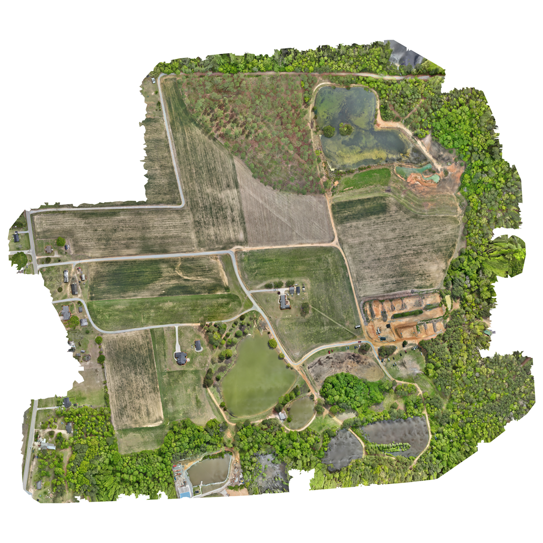
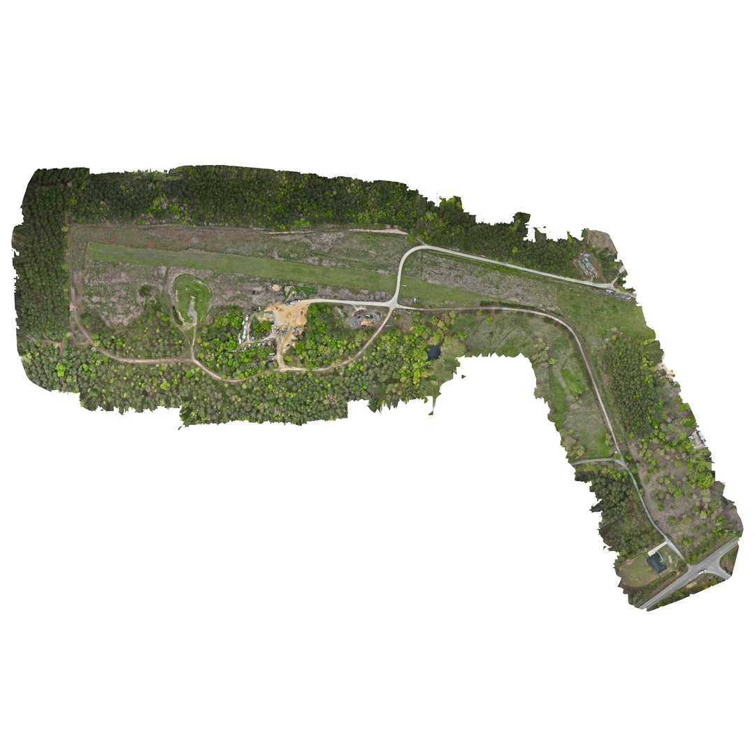
At Peak City Drone, our drone-powered land mapping services deliver fast, accurate, and actionable data for property owners, developers, hunters, and land managers across North Carolina. Using state-of-the-art aerial technology, we eliminate the need for time-consuming and potentially dangerous on-foot surveys. Whether you’re planning a build, managing acreage, or scouting wildlife, our FAA-certified team ensures every detail is mapped with precision.
Drone land mapping (also called aerial surveying or topographic mapping) uses drones equipped with high-resolution cameras, GNSS (GPS+), and sometimes LiDAR to capture accurate, scalable data for creating detailed maps and 3D models of the earth’s surface.
What Is Drone-Based Land Mapping?
Drone land mapping is the use of aerial drones equipped with high-resolution cameras, GPS sensors, and data-capturing tools such as LiDAR and photogrammetry software. These tools create detailed 2D and 3D maps of terrain, structures, vegetation, and other land features — all without having to set foot on the property.
Our drone mapping services provide:
- Accurate topographic centimeter accurate data collection
- Elevation models and contour mapping
- 3D terrain modeling
- Vegetation indexing (NDVI)
- Thermal and multispectral imaging options
Advantages of Drone-Based Land Mapping
1. Exceptional Precision
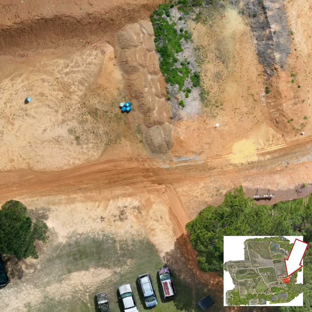
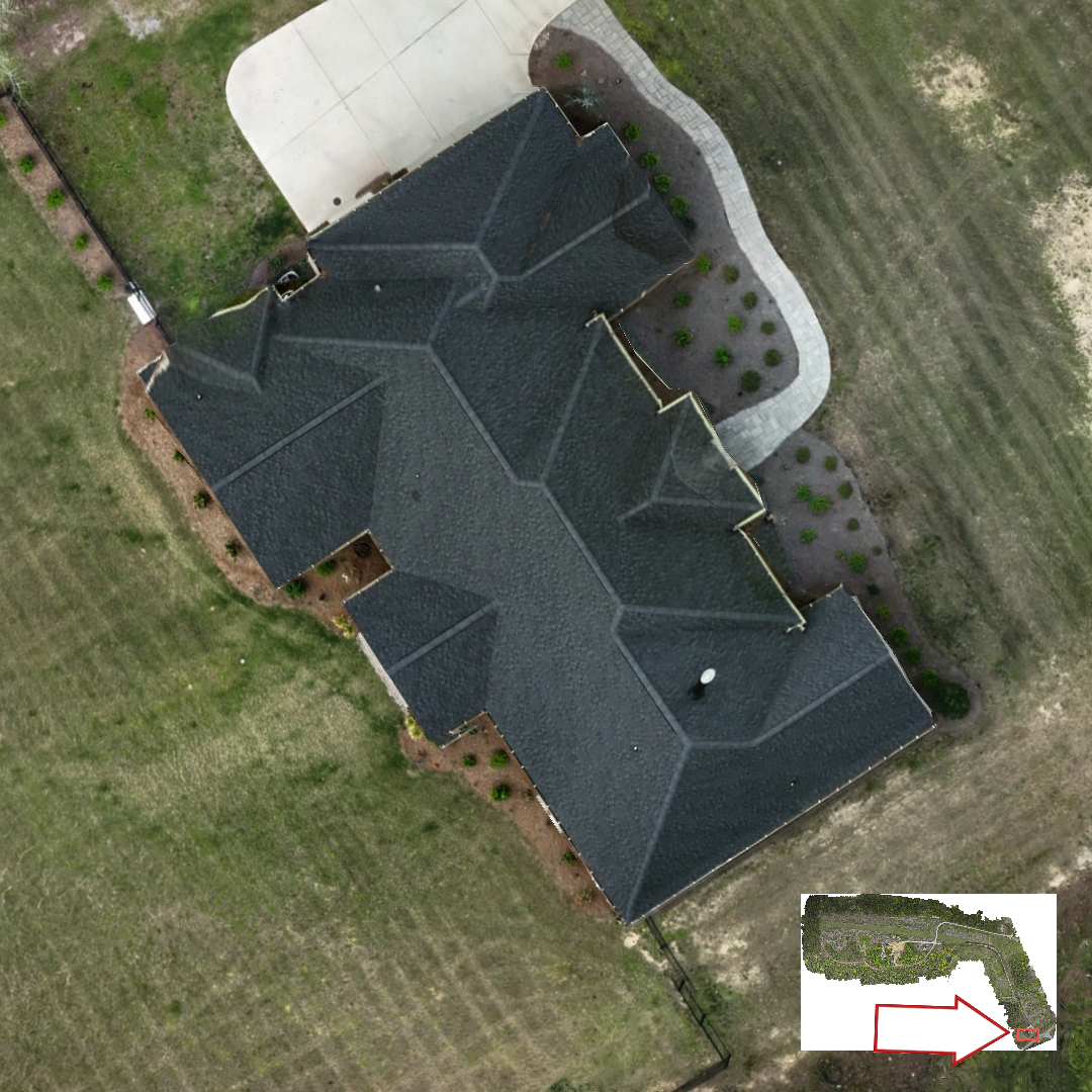
Capture ultra-detailed aerial imagery to produce high-resolution orthomosaics, 3D terrain models, elevation contours, and surface maps with centimeter-level accuracy. Ground sampling distances as fine as 1–3 cm/pixel ensure reliable results for any project.
2. Rapid Data Collection
Drone mapping dramatically shortens survey times—what used to take days on foot can now be completed in a few hours from the sky. Depending on terrain and battery life, we can survey hundreds of acres in a single day.
3. Reduced Surveying Costs
Eliminate the need for large survey teams, traditional equipment, or expensive manned flyovers. Drone mapping helps reduce labor, gear, and travel costs while delivering more data per dollar.
4. Reach Challenging Locations
Easily map areas that are steep, wooded, remote, or unsafe to access on foot. Perfect for environments like wetlands, quarries, cliffs, or land with limited ground access.
5. Flexible Data Outputs
We deliver data in formats compatible with CAD, GIS, and BIM systems, making it easy to integrate into your planning or analysis workflows. Ideal for:
- Construction layout and pre-site planning
- Forestry and land management
- Environmental and erosion studies
- Agricultural field optimization
- Mining and excavation projects
Enhanced Land Insights for Hunters and Outdoor Planners
Drone land mapping goes beyond just contours and coordinates. We can identify vegetation types, water sources, animal trails, and heat signatures using thermal and multispectral data—perfect for hunters and outdoor landowners.
Key benefits for hunting and recreation:
- Pinpoint deer paths, bedding areas, and game movement
- Identify food plots and dense vegetation zones
- Spot animal presence with thermal imaging, even in wooded areas
- Reduce human disturbance while scouting land
Safety and Accessibility Without Risk
Remote land mapping eliminates the risks associated with difficult or hazardous terrain. Steep slopes, wetlands, and wooded areas can be surveyed without putting personnel in harm’s way. It’s also ideal for property that may be inaccessible by foot due to water, fencing, or private land boundaries.
Land Mapping Applications by Industry
Construction Applications
- Track site development progress with regular aerial updates
- Analyze cut and fill volumes to support grading and earthwork planning
- Capture detailed data for pre-construction assessments and layout
Agricultural Uses
- Create precise maps of crop fields for smarter management
- Assess slope and drainage to improve field health and prevent runoff
- Develop prescription maps to guide variable rate seeding and fertilization
Land Development & Real Estate
- Define parcel boundaries for planning and record-keeping
- Gather data for feasibility studies and project approval processes
- Produce visual assets for investors, zoning boards, or permit applications
Mining & Quarry Operations
- Measure stockpiles quickly and accurately for inventory management
- Generate current pit maps to support planning and operations
- Meet compliance standards with consistent aerial survey data
Environmental Assessment
- Monitor erosion patterns to guide conservation or remediation
- Track vegetation growth and changes across seasons or years
- Identify and delineate wetland areas for protection or reporting