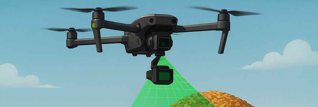
Measuring Biomass with Drones: How Accurate Can You Get?
Managing biomass stockpiles — especially irregular, fluffy wood chip piles — is challenging. Traditional ground surveys are slow, unsafe, and often imprecise. Drone-mounted LiDAR, combined with GNSS correction and smart ground control, offers a safer and more efficient solution. But how accurate is it in real-world biomass inventory management?
In this post, we’ll explore what results you can expect using DJI’s Zenmuse L2 LiDAR sensor, paired with D-RTK 3 base station and AeroPoints smart ground control points (GCPs), when measuring wood chip stockpiles.
Why Wood Chip Piles Are Tricky
Wood chip biomass piles are unlike gravel or ore: – Irregular and fluffy: Slopes aren’t clean, and pile tops are uneven. – Low surface texture: Photogrammetry struggles to find enough visual tie points. – Variable density: Wet vs dry chips, compaction, and chip size make bulk density highly unpredictable.
This means surface measurement accuracy is only half the battle — converting to tonnage requires good bulk density data.
The Role of D-RTK 3 and AeroPoints
- D-RTK 3 Base Station: Provides real-time kinematic (RTK) corrections, so every LiDAR scan is geotagged with centimeter-level accuracy.
- AeroPoints: Smart GCPs that log GNSS data independently, later corrected against reference stations. Placed around the pile base, they validate and adjust the LiDAR-derived surface model.
Together, they give you both efficiency (RTK in the air) and ground-truth validation (AeroPoints on the ground).
Expected Accuracy for Biomass Volumes
Let’s run the numbers on a 20,000 m³ wood chip pile:
RTK Only (D-RTK 3)
- Accuracy: ±5%
- Volume error: ±1,000 m³
- Mass error (assuming 300 kg/m³ bulk density): ±300 tonnes
RTK + AeroPoints (Hybrid Workflow)
- Accuracy: ±3%
- Volume error: ±600 m³
- Mass error (at 300 kg/m³ bulk density): ±180 tonnes
Why Density Matters More Than Volume
Even perfect volume calculations won’t solve the variability of wood chip density.
For example: – At 300 kg/m³ bulk density ±20%, the tonnage range for a 20,000 m³ pile is 4,800 – 7,200 tonnes — a 2,400 tonne swing. – By comparison, the volume measurement error (±180 tonnes with AeroPoints) is tiny.
This highlights the importance of regular bulk density sampling or weighbridge correlation.
Best Practices for Biomass Surveys
- Fly with RTK enabled and plan flight paths with full pile coverage.
- Place AeroPoints around the pile base on firm ground, not on the chips themselves.
- Process in DJI Terra, validating pile base elevations with AeroPoints.
- Sample density in the yard or correlate volumes with weighbridge data.
- Repeat consistently — same flight plan, AeroPoint positions, and processing workflow.
The Bottom Line
- RTK alone gives good accuracy (~5% volume error).
- Adding AeroPoints trims this down to ~3%, making results more reliable and audit-ready.
- Bulk density uncertainty dominates — without good density data, tonnage estimates will remain approximate.
In short, drones with LiDAR plus a hybrid RTK + GCP workflow make stockpile measurement safer, faster, and more accurate. For biomass operators, the real win comes from combining these precise volume measurements with reliable bulk density sampling.
Want to try this workflow? Start with your next stockpile survey by adding AeroPoints around the pile base. You’ll quickly see the difference in accuracy and confidence in your biomass inventory reports.
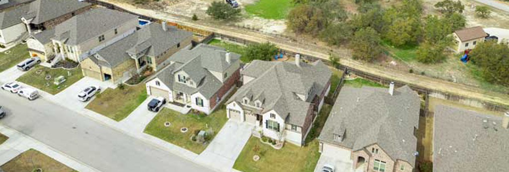
How Drones Are Transforming Real Estate Listings
Drones have revolutionized how real estate is marketed. From aerial views to immersive virtual tours, drone media increases engagement, shortens sales cycles, and boosts listing appeal.
Why Drones Matter in Real Estate
- 68% faster sales: Listings with aerial photos and videos sell up to 68% faster than those without.
- 403% more inquiries: Drone listings attract significantly more attention from potential buyers.
- Higher offers: Homes can sell for 5–11% above asking price when enhanced with drone content.
Visual Impact & Buyer Engagement
- 73% more engagement: Drone videos outperform traditional photos in attracting buyer interest.
- 83% seller preference: Homeowners prefer agents who use drones to market their properties.
- 80% buyer demand: A majority of buyers expect video tours as part of modern listings.
Speed & Profitability
- 32% faster closings: Especially effective in luxury listings and large parcels.
- Above-list pricing: Professionally shot drone footage correlates with above-market offers.
- Cost-effective: Drone photography costs a fraction of traditional aerial options.
Practical & Branding Benefits
- Showcase neighborhoods: Highlight nearby parks, schools, and amenities to sell lifestyle, not just property.
- Roof & terrain inspection: Use drones to inspect and identify issues before listing.
- Build agent brand: Tech-savvy agents who use drones build credibility and stand out.
What Real Agents Say
“My drone footage helped increase listings and accounted for about 30% of my sales.”
“For $150 a shoot, it brings in way more leads. Especially helps on big lots and rural homes.”
Best Practices for Real Estate Drone Marketing
- Hire FAA-certified drone pilots to ensure compliance and quality.
- Pair drone footage with virtual walkthroughs for 360° immersion.
- Use aerial shots to contextualize property within its environment.
- Include sunset or golden hour footage for visual appeal.
Conclusion
Drones aren’t just a trend in real estate—they’re a proven tool for faster sales, higher engagement, and elevated brand perception. If you’re not yet using drones to market listings, now is the time to take flight.
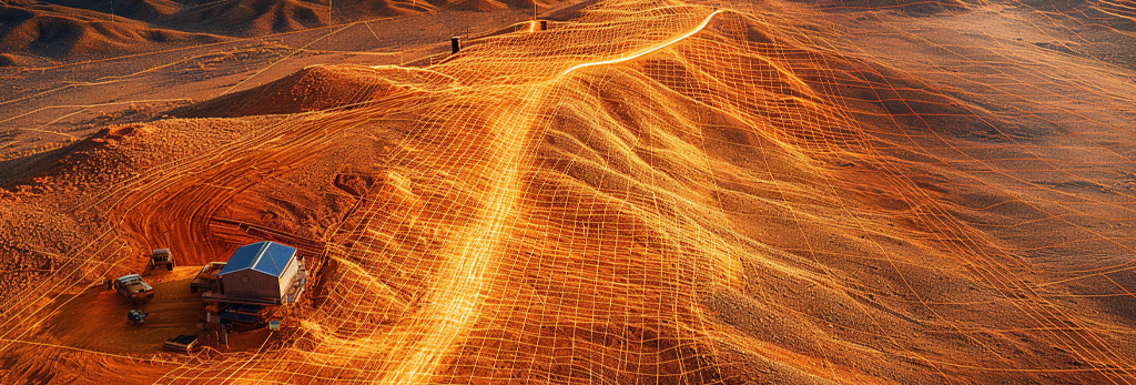
LiDAR and Drone Technology: Mapping the World in 3D
LiDAR-equipped drones are revolutionizing how we map and analyze terrain. Combining precision laser scanning with aerial mobility, these advanced systems deliver powerful data across industries such as construction, forestry, archaeology, and environmental monitoring.
What Is LiDAR?
LiDAR (Light Detection and Ranging) is a remote sensing technology that uses laser light to measure distances. It sends out rapid pulses of laser beams—sometimes over 100,000 per second—and measures how long each pulse takes to bounce back from surfaces.
How LiDAR Works
A LiDAR system consists of:
- A laser scanner to emit light pulses
- GPS for accurate geolocation
- Inertial Measurement Unit (IMU) for orientation tracking
The result is a dense “point cloud” representing the scanned environment in 3D, even through foliage or semi-obstructed terrain.
LiDAR vs. Photogrammetry
While both LiDAR and drone-based photogrammetry create 3D models, they have key differences:
- Photogrammetry uses overlapping photos and algorithms to construct models from visual data.
- LiDAR actively measures distance using lasers, offering higher accuracy and penetration through vegetation.
For applications requiring extreme detail, such as corridor mapping or forestry, LiDAR is the preferred tool.
How LiDAR Is Used with Drones
Attaching a LiDAR sensor to a drone adds the advantage of rapid deployment and aerial reach. These drone-LiDAR systems can scan large or difficult terrains quickly, safely, and with minimal human labor.
Core Applications of Drone-Based LiDAR
1. Topographic Mapping and Surveying
Surveyors use drone-mounted LiDAR for:
- Creating accurate Digital Elevation Models (DEMs)
- Mapping flood zones, roads, and infrastructure
- Measuring volumes for excavation or landfills
Unlike ground-based surveys, drones with LiDAR cover large areas in hours instead of days—without compromising precision.
2. Forestry and Vegetation Analysis
LiDAR can penetrate dense tree canopies, making it an essential tool in forestry:
- Measuring tree height, canopy structure, and biomass
- Identifying disease or deforestation patterns
- Mapping inaccessible forested areas
This data supports forest management, conservation efforts, and carbon accounting.
3. Construction and Civil Engineering
In construction, LiDAR-equipped drones provide:
- Progress tracking with high-resolution elevation data
- Earthwork volume calculations
- Pre-design site analysis and grading
Contractors use this information for accurate planning, minimizing costly on-site errors.
4. Mining and Resource Management
Mining operations rely on LiDAR for:
- Measuring pit depths and stockpile volumes
- Monitoring terrain shifts or erosion
- Creating 3D site maps for safety compliance
Drone-LiDAR solutions reduce the need for manual surveys in hazardous areas.
5. Archaeology and Heritage Preservation
LiDAR has become a revolutionary tool for archaeologists:
- Uncovering ancient ruins hidden beneath vegetation
- Mapping terrain without disturbing fragile sites
- Preserving cultural landscapes digitally
LiDAR has led to the discovery of lost cities, temples, and road networks in places like Central America and Southeast Asia.
6. Environmental and Coastal Monitoring
Agencies use drone-LiDAR to:
- Track shoreline changes and erosion
- Analyze wetlands and floodplains
- Support habitat restoration planning
This geospatial insight helps manage climate risk and promote sustainability.
Benefits of Using Drones with LiDAR
- High Accuracy: Centimeter-level precision in elevation and distance measurements
- Foliage Penetration: Ability to scan ground beneath trees or bushes
- Rapid Data Collection: Survey hundreds of acres in a single flight
- Cost-Efficiency: Reduces labor and equipment needed for traditional surveying
- Safety: Keeps surveyors out of dangerous or inaccessible areas
Challenges and Considerations
While powerful, LiDAR drone systems come with some considerations:
- Cost: LiDAR sensors and payloads are more expensive than standard cameras
- Processing Requirements: Large point cloud datasets require specialized software and computing power
- Regulatory Compliance: Drone flight regulations may limit where and how data can be collected
Careful planning and professional expertise ensure the best results.
LiDAR Drone Workflow
A typical project using a LiDAR drone includes:
- Flight Planning: Define area, altitude, and scan pattern using mission software
- Data Collection: Conduct automated drone flight and record LiDAR/GPS data
- Post-Processing: Use software to create georeferenced point clouds and models
- Analysis & Reporting: Extract elevation data, terrain contours, and other insights
Popular software tools for LiDAR post-processing include Pix4D, TerraSolid, and LAStools.
The Future of Drone-Based LiDAR
As LiDAR sensors become smaller, lighter, and more affordable, expect to see broader adoption across sectors. Advances in AI and machine learning will allow for automatic feature detection in point clouds—further streamlining data analysis.
Upcoming trends include:
- Urban planning with real-time 3D mapping
- Autonomous drone flights with AI-driven terrain recognition
- LiDAR + RGB fusion for photorealistic 3D reconstructions
These innovations will push the boundaries of what’s possible with remote sensing.
Conclusion: Mapping the Future with LiDAR Drones
Drones equipped with LiDAR sensors are reshaping how we understand and manage the physical world. From precision mapping to environmental stewardship, their impact is vast and growing. As technology continues to advance, LiDAR drones will be central to the next generation of geospatial intelligence.
Whether you’re in construction, conservation, or research, drone-based LiDAR offers an unparalleled view from above—accurate, efficient, and powerful.